Politics & Government
Wintry Mix, Minor Snow In Forecast For Lynnfield
Be careful when commuting later this week.

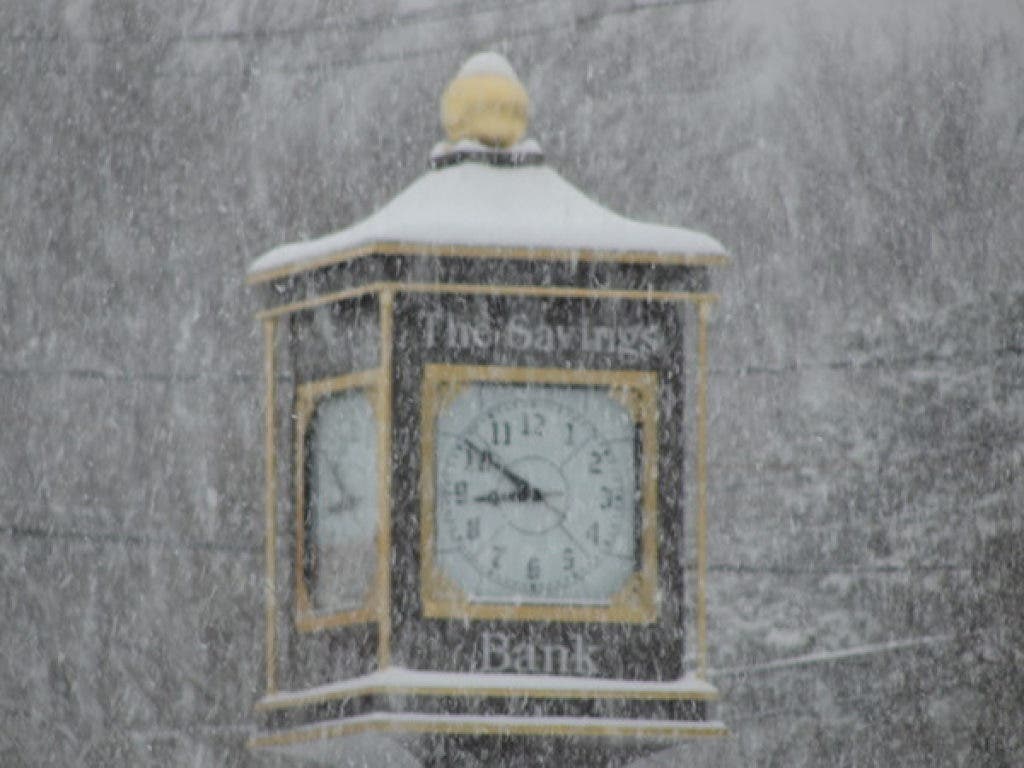
The National Weather Service is forecasting what could turn out to be the beginning of winter weather this week for the Lynnfield area.
The latest forecast says that snow is likely late Wednesday night into Thursday morning, although expected temperatures could quickly turn this into a cold rainstorm. The snow is projected to start around 4 a.m. Thursday and should become all rain by 9 a.m. as the temperature begins to approach 40 once again. Still, this could make for a dangerous commute. The NWS predicts up to one inch of total precipitation for Thursday.
There is a chance of snow showers overnight from Thursday into Friday, but residents are expected to wake up to a wintry mix that turns completely to rain by 9 a.m. The NWS forecast gives Thursday a 100% chance of precipitation.
Find out what's happening in Lynnfieldwith free, real-time updates from Patch.
Friday could see some more of these conditions from the early morning into the afternoon. The weekend forecast calls for little, if any precipitation, but does seem to include some colder temperatures that could be described as more fitting to the season.
Just Monday night, Lynnfield DPW Director Dennis Roy was telling selectmen at their meeting that the town has just above $80,000 still in its snow and ice removal budget. So far, the current season has only seen five inches of snow fall in the area, during the equally unusual storm of October 30.
Find out what's happening in Lynnfieldwith free, real-time updates from Patch.
Get more local news delivered straight to your inbox. Sign up for free Patch newsletters and alerts.